Crete: a little geography
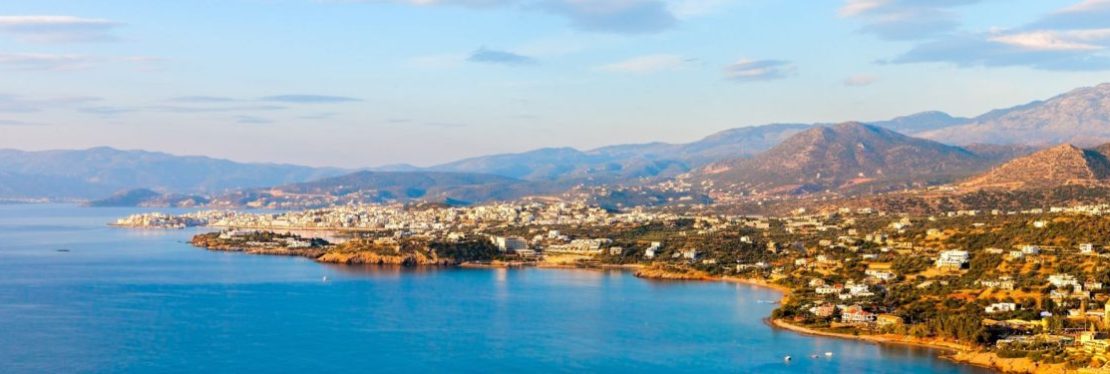
Crete is an island, an elongated, mountainous strip of land in the middle of the sea, at the entrance to the Eastern Mediterranean Basin. Its geographical position is from latitude 35ο42’ to 34ο55’N and from longitude 23ο44’ to 26ο19’E. It has an area of 8,346 square kilometres and is approximately 260 kilometres long. Its width nowhere exceeds 60 kilometres, and at the narrowest point is just 12 kilometres.
Europe, Africa and Asia are all equally close, equally distant. Antikythera and Kythera on the one hand, and Kasos, Karpathos and Rhodes on the other lend the impression of being the remnants of two land bridges that once joined Crete to the southern tip of the Peloponnese and western tip of Asia Minor.
The Cretan Sea separates Crete from the Hellenic Peninsula and the Cyclades, while the Libyan Sea sets it apart from Africa. It is surrounded by a group of small islets. Some appear to have broken off only now from the waves. The furthest off is Gavdhos, the southernmost extremity of Europe, opposite the Cyrenaica peninsula in Africa.
The centre of the mountain chain is dominated by Psiloritis, ancient Mount Ida. At 2,456 metres it is Crete’s Highest peak. Yet despite being three metres lower, the Lefka Ori in the island’s western section from the most imposing mountain massif. This rises in a precipice almost sheer from the narrow southern shore up to the Madhares, a treeless, labyrinthine upland of one hundred square kilometres surrounded by twenty peaks, each at least 2,200 metres high.
This is the undisputed kingdom of stone, without beginning or end. Yet the sense of the infinite is deceptive. We are on Crete. Not ten kilometres from this wild landscape in the Madhares and the highland pastures of the Lefka Ori lies the gentle north coast, with its verdant olive fields, orange groves and vineyards.
The steep, rocky landscape of the massifs is punctuated by mountain plains both large and small, with deep, fertile soil. This accumulated by erosion from the surroundings heights, and by the strong winds that brought it from the Sahara. Omalos Plain in the Lefka Ori, Nidha on Psiloritis, Lassithi and Katharo on Dhikti and Chandras Plain are small, enclosed words surrounded by rocky peaks- some are cultivated, others have been abandoned to pasture. Poljes, as geologists call these depressions, are fertile islands in an unbroken rocky mountain desert. The winter rain and snow that collect in enclosed mountain plains drain through sinkholes formed in eroded limestone, feeding the springs that provide water for intensive farming on the pains.
Deep gorges bisect the mountains, usually running north-south. Yet rather than being an obstruction, they often serve as the only through way from north to south Crete. Best known of all is the Samaria Gorge, one of about two hundred gorges of the island. Many of the rare species in Cretan flora and fauna have found refuge there. Any number of torrents flow through narrow valleys or along the floor of the many gorges. Though their water yields is limited and seasonal, an impenetrable jungle grows along their banks, dominated by plane trees, oleander and chaste trees, in the midst of what is often a treeless, rocky and arid landscape. At their estuaries many of the rivers and torrents form small wetlands, where migratory birds rest and find food on their passage to and from Africa.